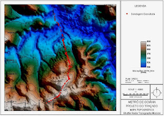

This is a Hypsometric map. This map will show the configuration of the earth's surface by using contous, lines, hachures, shading, tinting, or relief models. In this example you can see the contours used to express the difference in land, water, and dessert terrain.
No comments:
Post a Comment